Flying in for a fast house hunt in San Ramon? You are not alone. Many transferees need to narrow neighborhoods, test commutes, and get a feel for daily life in just a weekend. This guide gives you a clear 48-hour plan with what to see, how to compare areas, and the exact checks to make.
You will learn how to sample top neighborhoods, evaluate commute options, and spot practical differences that matter to your household. Let’s dive in.
Why San Ramon, fast
San Ramon sits in the Tri-Valley, an eastern Bay Area hub with master-planned communities, open space, and major job centers like Bishop Ranch. The city had a population of 75,931 in the 2020 Decennial Census, according to the U.S. Census Bureau.
You will find a mix of newer subdivisions, established streets with mature trees, and corporate campuses, plus strong access to parks and trails. Daily life is car-oriented with growing connections to regional transit. If you want a suburban setting with newer homes and access to East Bay and South Bay jobs, this is a good fit. If you need frequent, walk-up urban transit to San Francisco, expect longer door-to-door times.
How to use this 48-hour tour
- Book two commute tests: one morning inbound, one evening return, on weekdays that match your schedule.
- Reserve 60 to 90 minutes per serious neighborhood and use 20 to 30 minutes for drive-bys.
- Use the same checklist everywhere. Take photos, voice notes, and quick ratings.
- Bring a printed timeline, addresses for open houses, and a maps app with traffic.
Day 1: Orientation and lifestyle
Morning: Commute test (30–60 minutes)
- Drive your likely AM route at your real start time. Focus on I-680 merges, ramp behavior, and any bus or HOV lanes.
- Note congestion points and park-and-ride activity. Check traffic overlays in your app.
What to log:
- Typical speeds and chokepoints.
- Where a shuttle or BART transfer could help.
- Parking realities at your destination.
Midday: Neighborhood sample lunch (60 minutes)
Option A: Dougherty Valley
- Walk a residential loop, pass by a local school exterior, and visit a park. Notice sidewalks, lighting, and street grade on steeper blocks.
- Drive to a nearby grocery to gauge distance and convenience.
Option B: Bishop Ranch and Gale Ranch
- Walk the office park plazas and try a lunch spot to test weekday convenience.
- Check proximity to the Iron Horse Regional Trail and how easy it is to reach adjacent homes.
Afternoon: Walkability and errands test (45–60 minutes)
- Visit the San Ramon city center area for errands in one stop. Look at grocery, pharmacy, library or community center proximity, and pedestrian crossings.
- Note parking supply and how easy it is to move between shops on foot.
For reference on local services and facilities, explore the City of San Ramon website before you go.
Evening: Dinner and evening vibe (2–3 hours)
- Have an early dinner near Bishop Ranch or City Center. Walk afterward to gauge lighting, ambient noise, and pedestrian activity.
- Rate your comfort level walking between venues and to parking.
Day 2: Deep dives and commutes
Morning: Open houses and models (2–3 hours)
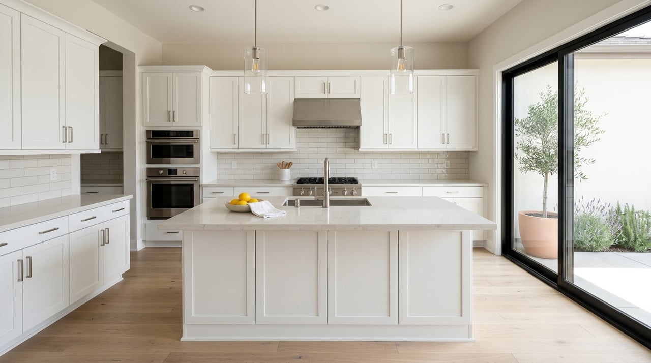
- Tour 2 to 3 homes across different areas such as Dougherty Valley, Windemere, and Gale Ranch. Spend 20 to 30 minutes inside, then 10 minutes outside observing the street.
- Collect basic data: approximate HVAC age, roof condition, lot size, garage access, and whether HOA rules and fees apply.
Midday: Schools and parks (2 hours)
- If schools are a top priority, drive by campuses during drop-off or pick-up to observe traffic and site flow. For boundary and enrollment information, consult the San Ramon Valley Unified School District.
- Walk a major park or trail such as the Iron Horse Regional Trail or Dougherty Hills open space. For trail maps and status, visit the East Bay Regional Park District.
Afternoon: Transit test and BART (1–2 hours)
- Drive to the nearest BART station you would use most, either Walnut Creek or Dublin/Pleasanton. Check parking availability, station access, and drive time.
- Review BART schedules and station details at BART.
PM: Return commute test (30–60 minutes)
- At evening rush, drive from your top neighborhood back to your work area. Compare main routes and a backup option.
- Note intersection delays on Alcosta Boulevard, Bollinger Canyon Road, and Crow Canyon Road.
Evening: Quick re-check
- Revisit your favorite block to confirm impressions in different light and activity levels.
Neighborhood snapshots to compare
Dougherty Valley
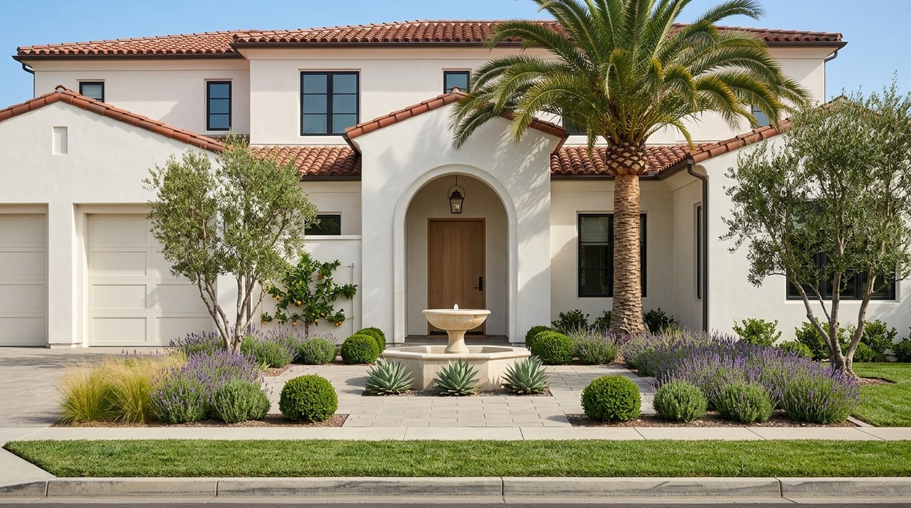
- Profile: Newer, master-planned streets with many single-family homes, plus townhomes and condos. Subdivisions were designed around schools and parks.
- Commute: Fast access to I-680; BART requires a drive to Walnut Creek or Dublin/Pleasanton.
- Test this: Sidewalk continuity, lighting, park quality, and how far it is to your preferred grocery. Ask about HOA rules and fees where applicable.
Bishop Ranch and Gale Ranch
- Profile: A major office park with dining and services, plus adjacent residential neighborhoods with mid-2000s housing.
- Commute: Convenient if you work in Bishop Ranch. Otherwise a typical I-680 commute; note workday traffic and parking.
- Test this: Lunchtime options, evening dining, parking supply, and access to the Iron Horse Regional Trail.
City Center area
- Profile: Walkable pockets with local shops and civic buildings. Housing is generally older than Dougherty Valley.
- Commute: Central location for local errands; still reliant on I-680 for regional travel.
- Test this: Walkability, crossings, sidewalk condition, and frequency of local markets.
Windemere and North San Ramon
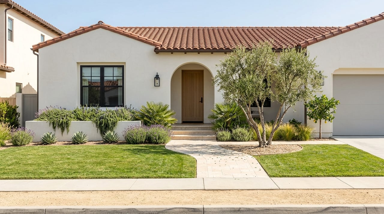
- Profile: Established 1980s to 1990s neighborhoods with mature trees and a more traditional street feel.
- Commute: Local arterials feed I-680. Check traffic patterns along Alcosta Boulevard.
- Test this: Street parking norms, park proximity, and how busy main roads feel at peak.
Quick neighborhood compare
| Area | Housing age | Everyday feel | Commute footprint | BART access |
|---|---|---|---|---|
| Dougherty Valley | Newer construction | Quiet residential | I-680 drive | 10–30 minute drive to stations |
| Bishop Ranch/Gale Ranch | Mid-2000s mix | Office-adjacent convenience | Ideal if working in Bishop Ranch | 10–30 minute drive |
| City Center | Older mix | Errands in fewer stops | Central for local trips | 10–30 minute drive |
| Windemere/North | 1980s–1990s | Established streets | I-680 via arterials | 10–30 minute drive |
Commute and transit facts
- Roads to know: I-680 is the spine for north-south trips through San Ramon. Local arterials include Alcosta Boulevard, Bollinger Canyon Road, and Crow Canyon Road. Review regional planning and updates at the Contra Costa Transportation Authority.
- BART access: San Ramon does not have an in-city BART station. Most residents drive or shuttle to Walnut Creek or Dublin/Pleasanton. Start at the BART site for parking and station info.
- Local buses: County Connection serves Central Contra Costa, and Wheels covers the nearby Tri-Valley. Explore routes at County Connection and Wheels.
- Trails and active travel: The Iron Horse Regional Trail provides multi-use connectivity across the corridor. Check maps and trail advisories via the East Bay Regional Park District.
- Parking notes: Expect permit rules on some residential streets and tighter commercial parking near Bishop Ranch during weekday peaks. Always check live traffic before your tests.
Schools, parks, and daily services
- Schools: SRVUSD serves most of San Ramon and is a key factor for many households. Since assignments depend on exact address, confirm boundaries and enrollment details with the San Ramon Valley Unified School District. During your visit, observe morning routines, site condition, and distance from candidate homes.
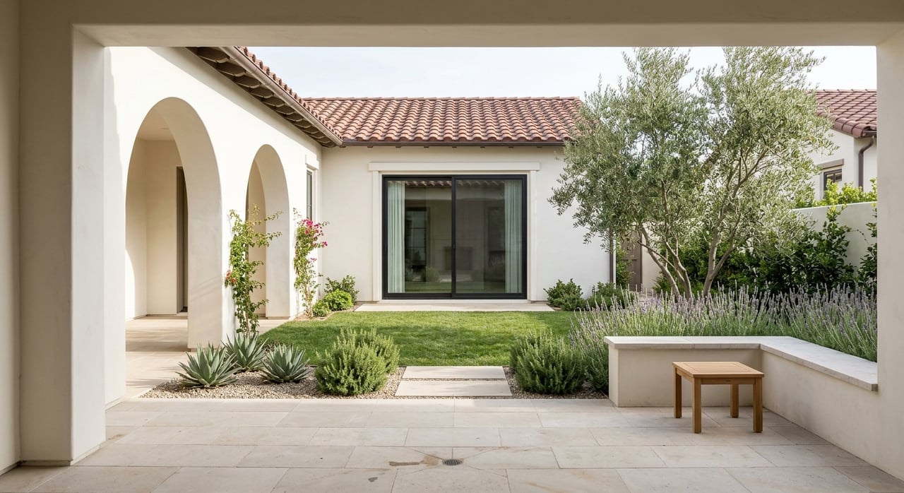
- Parks and open space: Try the Iron Horse Regional Trail for a quick fitness loop and the Dougherty Hills area for views. Use the East Bay Regional Park District to preview maps.
- Shopping and dining: City Center and Bishop Ranch offer clustered options for errands and meals. For city services and facility locations, start at the City of San Ramon.
Buying or renting on a fast timeline
- Market character: Expect competitive conditions for well-located homes. Newer master-planned inventory appears at times, which can offer predictable finishes and warranties.
- Renting: Short-term furnished options exist for transferees. Confirm lease terms that match your company’s timeline, if applicable.
- Buying: Line up pre-approval, current comps, days-on-market trends, and typical offer terms. Request HOA disclosures where relevant and plan your inspection period.
- Relocation benefits: Ask your employer about preferred lenders, shuttles, or temporary housing. A local agent can coordinate timing and referrals to reduce friction.
Your observational checklist
Use this in each neighborhood:
- Noise from freeways, office parks, or aircraft.
- Sidewalks, curb ramps, crosswalks, and street trees.
- Nearest bus stop or shuttle, distance to BART.
- Grocery, pharmacy, banks, coffee, and restaurants within 5 to 10 minutes.
- School frontage, signage, and overall condition.
- Park quality, playgrounds, sports fields, and trailheads.
- Peak traffic on AM and PM runs.
- Housing age, upkeep, yard sizes, and parking availability.
- Lighting and pedestrian or bike infrastructure.
- Community cues like posted events or neighborhood signage.
What to pack for the 48-hour trip
- Phone with charger, photos app folders for each neighborhood, and voice notes.
- Printed timeline and a map with preset addresses and route options.
- Open house list with agent contacts and HOA notes.
- Small tape measure, shoe covers, and a notepad for quick ratings.
- Cash or card for BART parking if you test transit.
Ready for a guided tour?
If you want a local partner to organize open houses, optimize your commute tests, and shortlist neighborhoods that match your goals, connect with Linda Traurig. With deep Tri-Valley experience and a concierge network, she will help you turn a quick visit into a confident decision.
FAQs
How should I plan a 48-hour San Ramon relocation tour?
- Block two commute tests on weekdays, reserve 2 to 3 open houses in distinct neighborhoods, and use a consistent checklist so your notes are comparable.
What are the closest BART options to San Ramon?
- You will typically drive to Walnut Creek or Dublin/Pleasanton stations; review parking and service updates on the BART site before your test.
How do public school assignments work in San Ramon?
- Attendance depends on your exact address, so verify boundaries and enrollment timelines with the San Ramon Valley Unified School District before you write offers or sign a lease.
Is a car necessary for daily life in San Ramon?
- Most residents rely on driving for commutes and errands, with regional links via County Connection, Wheels, and BART for broader trips.
Which roads should I expect to use for commuting?
- I-680 is the main corridor, with key arterials like Alcosta Boulevard, Bollinger Canyon Road, and Crow Canyon Road; check regional updates via the Contra Costa Transportation Authority.